This is when snow and ice will hit Yorkshire as Met Office issues weather warnings


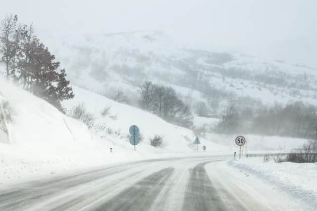
A Met Office yellow weather warning for snow and ice is in place for Yorkshire from 6pm today (31 Jan) until 12pm tomorrow (1 Feb), covering East, North, South and West Yorkshire.
The Met Office said: “Showers will develop during Thursday night and continue into Friday morning falling as a mixture of rain, sleet and snow.
Advertisement
Hide AdAdvertisement
Hide Ad“Snow accumulations of 1-3 cm are possible in places by Friday morning. Ice is likely to form on some untreated surfaces.”
This week’s weather forecast
Today, Yorkshire will see “Freezing fog patches clearing slowly, otherwise cold with sunny spells,” the Met Office said.
Today will be a cold, but mainly dry day with some good sunny spells. However, freezing fog patches may be slow to clear.
Coastal areas may also see the odd wintry shower, with a maximum temperature 2C.
Advertisement
Hide AdAdvertisement
Hide AdTonight will become “Increasingly cloudy overnight, with coastal wintry showers becoming more frequent and spreading further inland as a northeast breeze picks up,” add the Met Office.
Yorkshire will also see a widespread frost away from the coast with a minimum temperature of -3C.
Friday will be cloudy with further wintry showers, especially in the east. It will also feel very cold in the strengthening northeast breeze.
Saturday will be cold, with further wintry showers in the east. It will be increasingly cloudy on Sunday after widespread overnight frost, with rain or snow likely by evening, but this should clear on Monday.